

Today's ride in Litchfield was an exploration of sorts and follow up to my last ride dirt road ride in Litchfield, The Litchfield Dirty Thirty. Accompanying me today was my friend Leslie who lives in Litchfield and is no stranger to some of these roads but like many of my exploration rides we're bound to find some dead ends, hike-a-bike, and probably a Napoleon's Death March.

I met Leslie at White Memorial Conservation Center and gave her the camp table we borrowed from her at D2R2 last month. Once we were ready we headed east and First Dirt was right out of the lot. However, there were a lot of firsts on this ride.

The White Memorial trail system is a plethora of old carriage roads and are really easy to ride and is great network to connect to other areas within the town for riding other dirt roads.

The route I planned for today's ride was going to scratch off quite a few bucket list items that included dirt roads leading to and around the top of the Pitch Reservoir, a better way to Pitch Road that bybasses the washed out road bed of Pitch Road, see if Lattin Hill Road goes through, see what Town Line/Old Smith Road is like, ride Hayden Road in Harwington, Buell Road in Topsmead State Forest, some dirt roads around Milton, and the Shepaug Railroad Bed between Stoddard Road and Bantam Lake Road.

Coming out of the White Memorial trails Leslie and I hit the First Dirt Road on Esthers Road. Litchfield does a good job ensuring my favorite sign is placed where everyone can see it.

From Esthers, we rode down to the end of Isaiah Smith Road, across someone's driveway and back into the White Memorial Trail system.

There isn't any no trespassing signs put there is a sign stressing this is a private drive. The view from Google Maps shows a right of way extending to the gate at the end of the trail.

The gate isn't easy to get around either!

You can ride across the small earthen dam on Beaver Pond but on the other side it becomes singletrack and a real steep ascent.

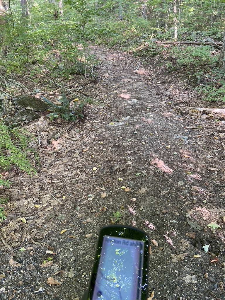
The road/trail around the pond that connects to Pitch Road is so much better!

However the descent to Pitch Road is a little sketchy.

This part of Pitch is so pristine but I saw signs of motorcycles and the unmistakable signature of equestriennes.

I am already thinking about coming back here next month to firm up a route that includes White Memorial and Topsmead and is around 30 to 40 miles.

Near the intersection with Chestnut Hill there was a tree down on Pitch Road

So a little trail maintenance necessary
 |
| Photo credit: Leslie Palmer |
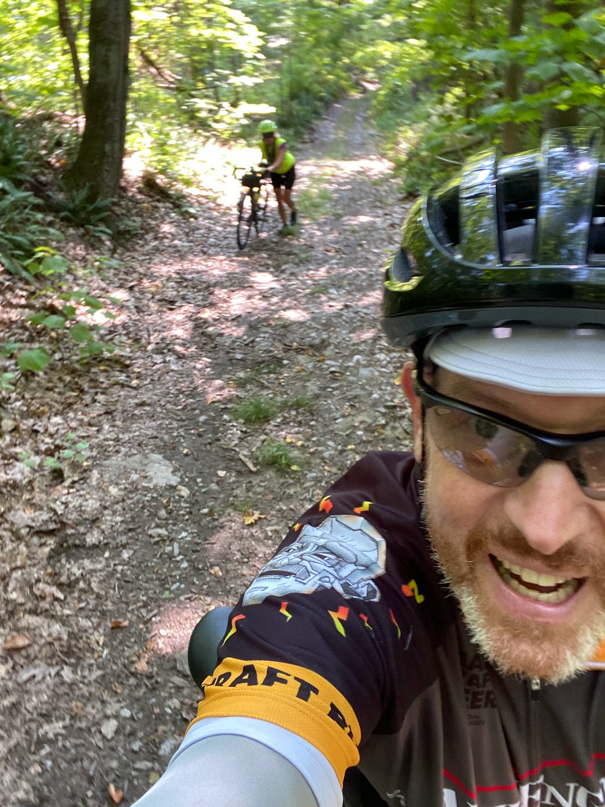
From Pitch Road we turned before the reservoir onto East Chestnut Hill and hit the first significant climb of the ride.

It's a good climb and the reward is a dirt road descent down Blakeslee Rd

At the bottom of the hill is another lovely sign

Followed by an even steeper climb up to Wigwam Road
 |
| Photo credit: Leslie Palmer |
But the view is worth it!
Even though I had a route, periodically I was checking the course according to RWGPS.

My route had us on Seeley Road

and then to Lattins Hill

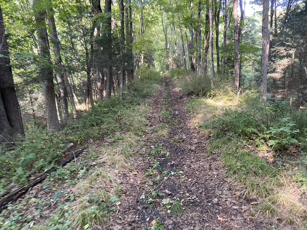
The road went through once but not really anymore

so it was hike-a-bike time down a game trail

However, both sides are nice gravel roads.

While we walked down off to one side here is what the closed section looks like looking up hill

Riding through Northfield we found Geoffrey the Giraffe's house

I guess when Toys-R-Us went bankrupt Geoffrey retired to Litchfield

The view at the top of Campville Road is well worth the climb

On RWGPS there was a road that came off someone's driveway that would take us into the backside of Humaston Brook State Park but the entrance was so overgrown that we couldn't continue so we had to detour around to Knife Shop where we found the course again.
We rode the section of the route where it would have came out of the State Park in reverse and found the park road/trail where it met White Street. It looks like it could make a connector to a future route once its sorted out whether it goes through or not.

Returning back to the route we climbed up Hopkins Road which was pretty challenging

and then from here we rode over to Old Smith Road only to find fresh black butter and thus another dirt road bites the dust

We kept descending down towards Rt 8 and the Naugatuck River

We stopped off at Thompson Dam

I asked the Park Ranger what was the highest the water has ever been and she said in 2010 for Hurricane Irene the valley was covered with 81 feet of water. That's nearly 3/4s of the way up that tower!

After the Dam we continued up Rt 222

and enjoyed a really steep road climb for a little more than a mile followed by a nice dirt road descent

We decided to cut off portion of the route in the interest of time because Leslie was dog sitting and had to be back at her friend's house to the let the dog out midday. We did find this blocked off portion of Valley Road, which is the old Rt 8. Unfortunately, this dead ends at the river.
 |
| School House Road |
Climbing out of the river valley we passed over the Naugatuck River and I noticed a trail that paralleled the river that looked like it could be fun to ride. When I got home I started looking pre 1950s topos vs today and I think this is the old Railroad bed before it got washed out by the flooding caused by Hurricane Gloria in the 1950s. This could mean you could ride from Thompson Dam all the way to Exit 42!
 |
| Newton Road |
School House Road doesn't show up as dirt on Ride With GPS but I have it on my map so when I plotted out the course this part fell into the 3% of the unknown for the surface total.

Turning onto the Richards Rd Ext we climbed up the hill and then turned onto Buell Road only to find it didn't go through like I thought it would.

I found the old trail but it was a washed out stream bed and I wasn't in the mood for a 2 mile Napoleon's Death March so we backtracked to Old Newton Road.

Old Newton started out nice but then got steep

Unlike Buell Road Old Newtown turns to double track

that was rideable to start but as it got steeper it became more washed out
and a Napoleon's Death March ensued

At the top we were able to get on our bikes again to start riding but 50 yards up the road there was a big tulip tree blocking so we followed an ATV track around the downed tree

there were no signs saying no trespassing so we cut quickly across this property and found the road again. There was a Ring camera fixed to the tree and apparently it alerted the land owner who then came out in his van and caught up with Leslie who was still climbing up Marsh Road, which might have been the steepest climb of the ride.

The landowner informed Leslie that we trespassed but was nice about it and knew about the tree and said he was going to take care of it at some point.
 |
Looking back down Old Newton Road towards the blockage  We rode through Topsmead  |
and headed back to Litchfield so Leslie could go let the dog out

While she took care of the dog I went a deli and got lunch

Meeting back up again we set out on the second half of this ride. We rode the rail train back over to White Memorial

cut through the pine forest carriage trails and then rode the other portion of the rail trail.

Crossing Rt 202 and turning onto Maple Street we climbed up and the turned onto Knox Rd. It turns to dirt and climbs up to Brushy Hill Road

We climbed more on Brushy Hill and then turned on to Duck Pond Road

and passed by the Ripley Waterfowl sanctuary.
The next dirt road was Butternut

Heading towards Seheer Thoss Road, originally I wanted to ride it but Leslie said it was private so we rode Mike Road to Goodhouse to Newcomb

and then down Hemlock Hill

Once we got to Shear Shop Leslie told me she was starting to tired and decided she wasn't going to go down Prospect Mountain and instead take the shortest way to Stoddard Road. I was starting to feel it as well but I still wanted to ride Potash Rd so I told her I would hopefully catch up to her at some point.

The climb was tough because I was tired

but I didn't stop

I came down Litwin Road and it was a beautiful descent. Leslie said she was going to go down Cathole and Utwin took me to Cathole as well but I never caught up to her.

I finally caught up to her Stoddard Road and she road right past our next turn
This section of the Shepaug Railroad bed is owned by the Litchfield Conservation Trust

so it's legal to ride but very sketchy in places.

The views of the forest from the bed is amazing.

Unfortunately there is some unauthorized access by ATVs

however the roadbed is still nice to ride

Leslie hung in like a trooper

Then the it ended, washed out by this stream, probably a casualty of the housing development just up the hill. I bushwhacked to the right of the stream bed to get out into the grassy area beyond the tree line. Leslie walked up the hill and through someone's backyard to get to a road.

There is a dual track trail that follows the approximate path of the road bed through tall grass and pricker bushes

and comes out on Bantam Lake Road

Turning onto West Shore Road we headed back to White Memorial
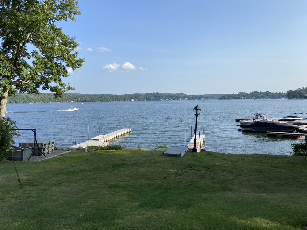 |
| Bantam Lake |
One last carriage road that led to the parking area

and we were done!
3 comments:
Epic ride!
Absolutely fantastic post 🙌
Thanks Rich
Post a Comment