
Don't you just love it when your wife wants you to go for a ride? That's how this ride came about. We had Will's apartment keys from when my daughter spent a few weeks this summer cat sitting and brought the keys home before going off to school. Sondra, Will's wife, thought it would be great idea if we got together this Sunday so I could hand off the keys. Our wives conspired and here we are are!
Someone I met from the Insta mentioned to me last week that there's new brewery in Livingston, NY called Vosburgh Farm Brewery and so I started looking at a map of the area and thought it would be great to do a big loop that included both sides of the Hudson River and settled on a 73 mile route. Will looked at and suggested that we should ride the Devil's Kitchen, an insane climb from West Saugerties to Tannersville, so I added that to the route.
You couldn't have asked for a better day. It was warm but there was no hot sun like we had a couple of weeks ago at D2R2 and the off and on sprinkles made it really pleasant.
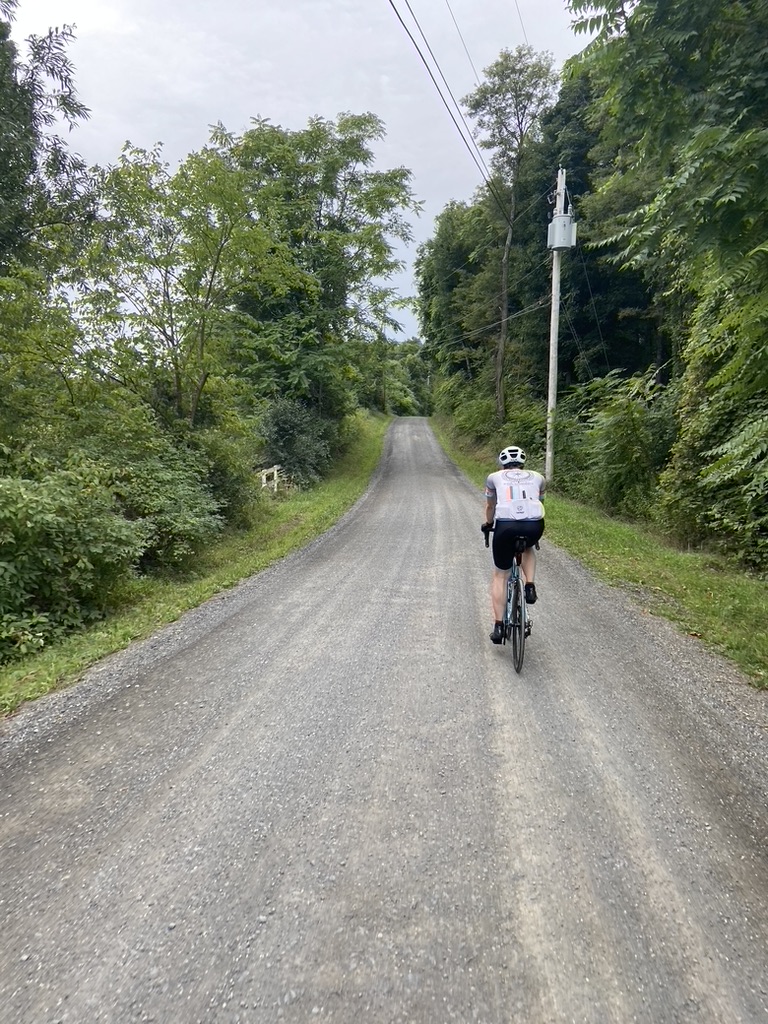
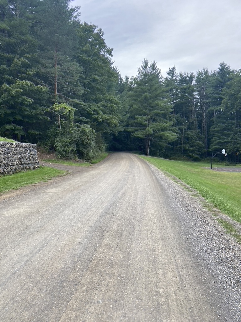
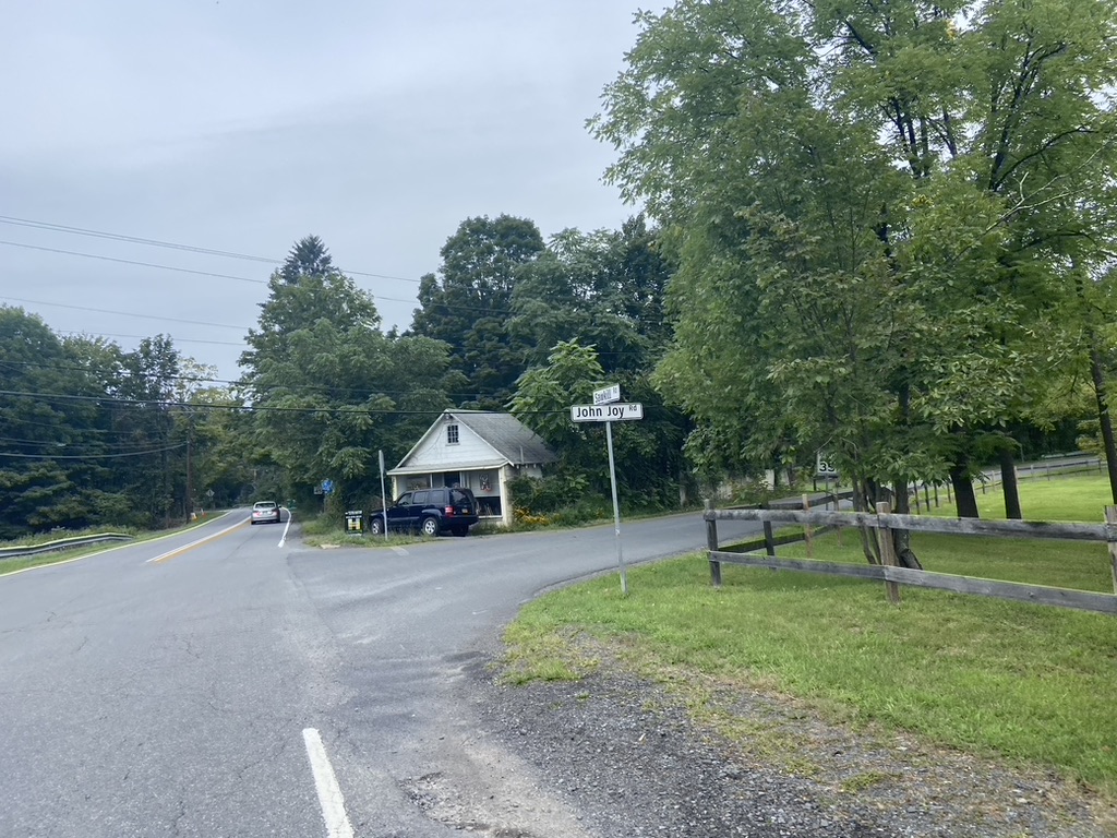
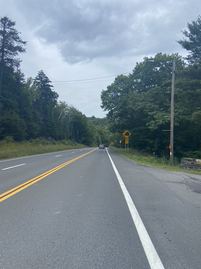
I should have checked the route against my Dirt Road map because sure enough the route hit two dirt roads. Skookville Road was on my map and could have been avoided but it wasn't crazy a pretty road bike friendly.
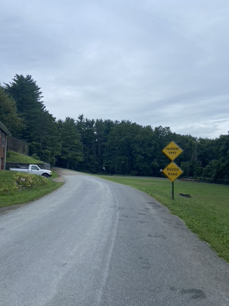
Oriole Mills Road, as the sign says, was a bit rough, especially at the end because it was terribly washboarded.
This road takes you by some ball fields and then the Rhinebeck Aerodrome where they have little air shows from time to time. It looked like they were setting up for when but it was too early to stop.
Rhinebeck has all these roads laid out as bike routes and I might have to try to lay them all out on a course and come back up here and ride them.
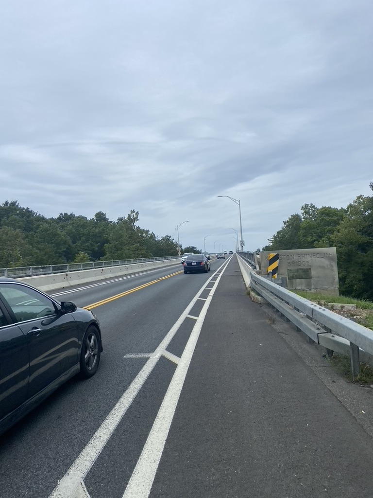
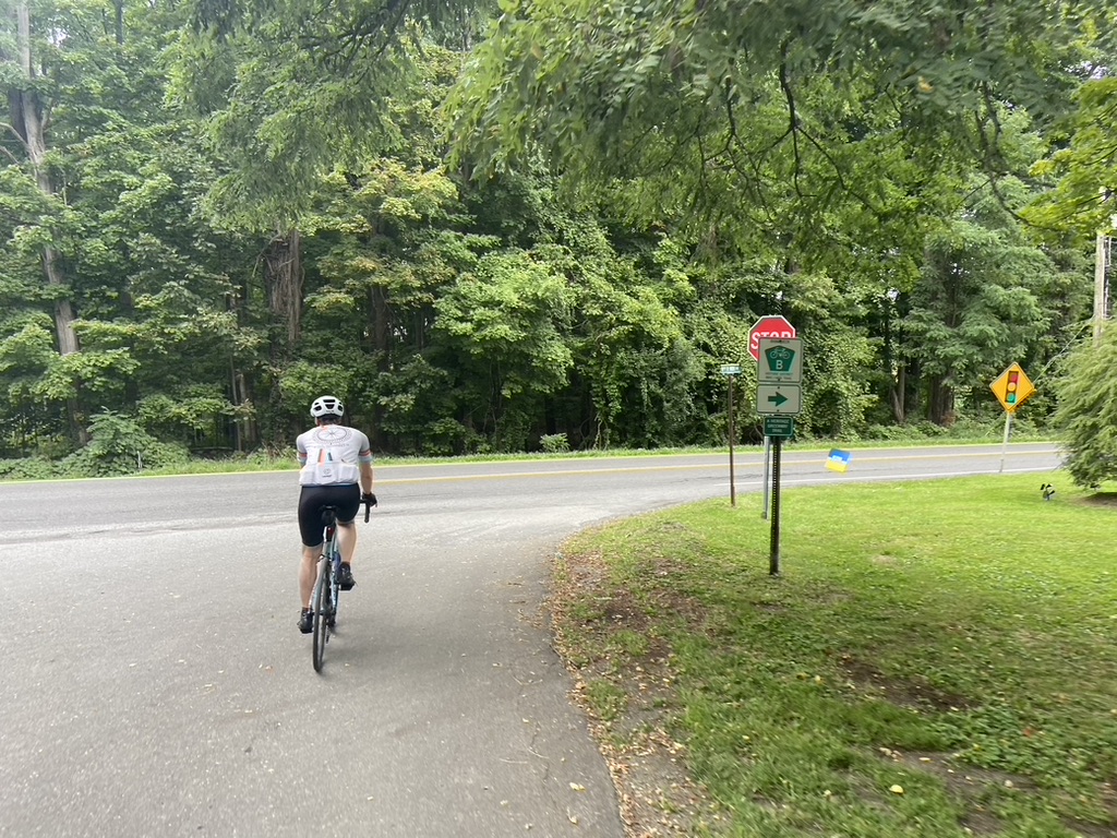
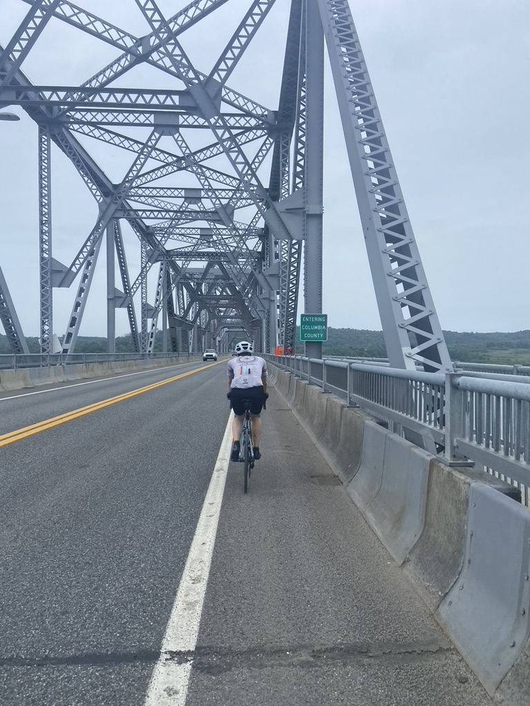
Turning onto 199 we headed towards the Kingston-Rhinecliff Bridge and I thought I saw Will behind me so I continued onto the bridge.

The view of the Catskills was amazing
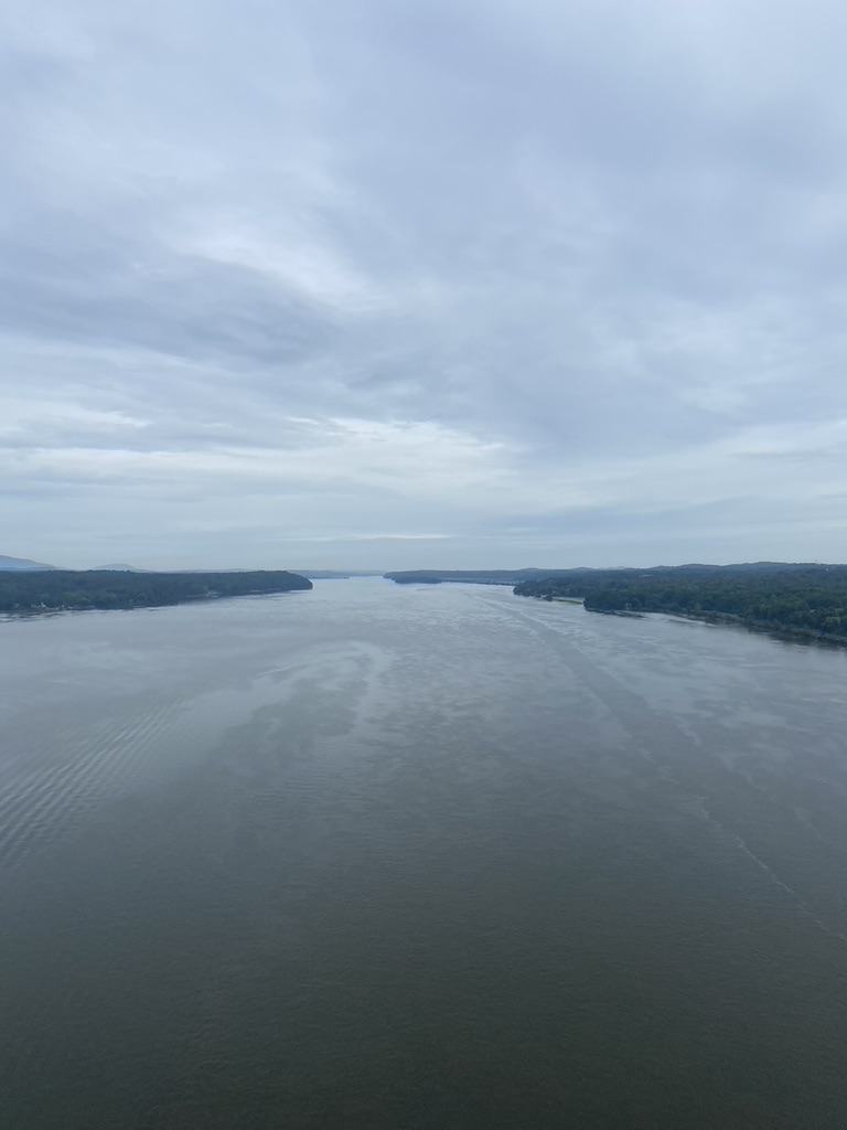
I stopped at what I thought was the apex of the bridge and took this picture looking south towards Poughkeepsie and that's when I realized that Will was no longer behind me.

I found him on the side of the road with a flat front tire
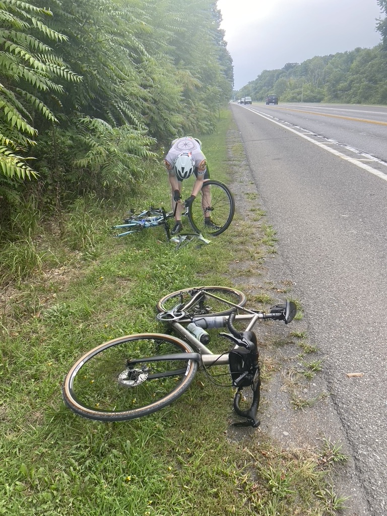
One of his back up tubes wasn't holding air so he went to his other spare. The bead on his tire was really tough and it wouldn't seat right. We tried it a couple of times and went through a C02 but couldn't get it so we just pressed on.

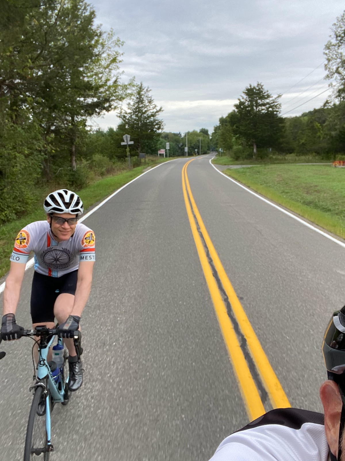
This time I made sure Will was in front


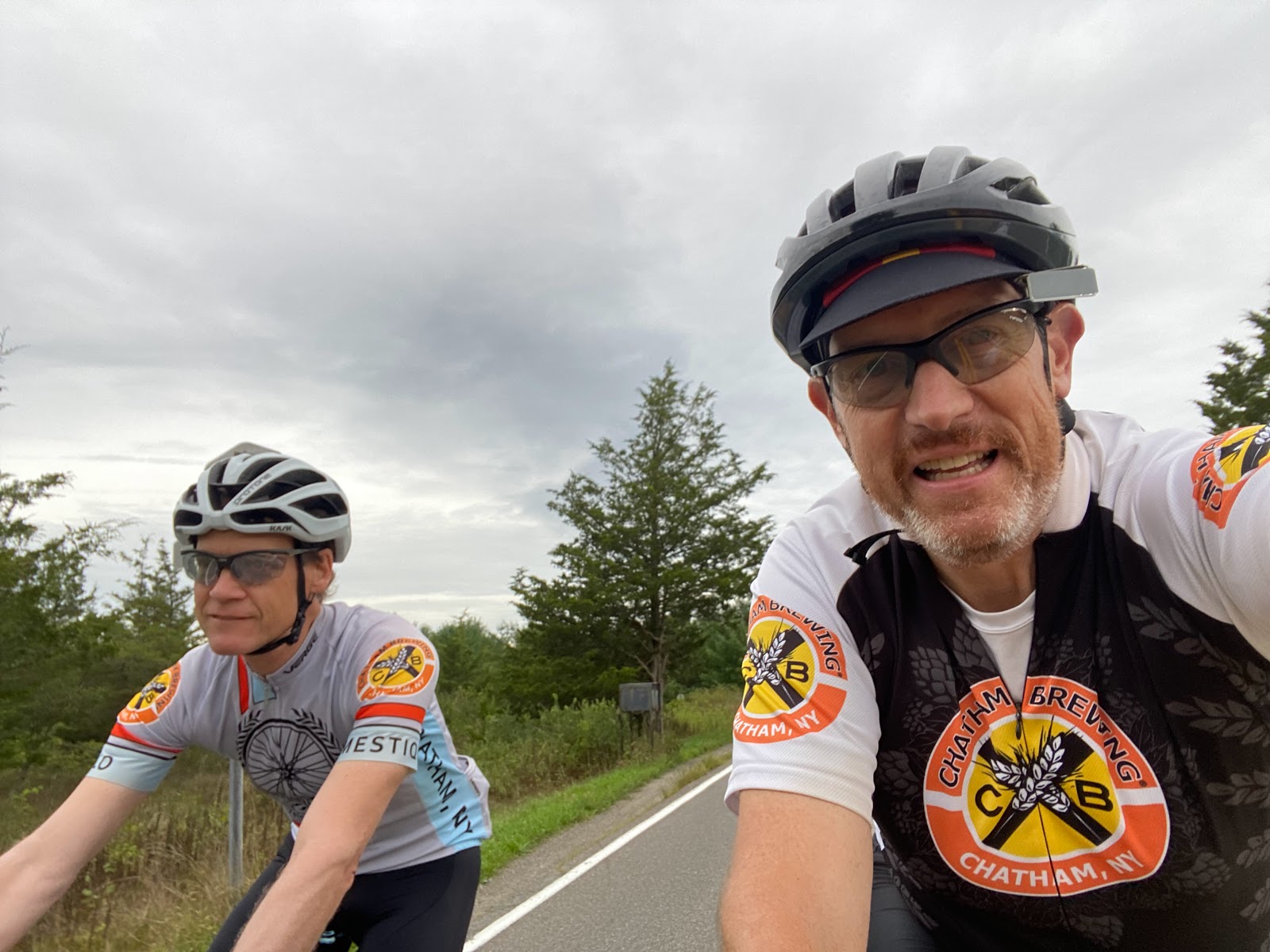
After the bridge we made our way through the outskirts of Kingston and started riding towards Woodstock

We stopped at the the Von Salad Farm on Sawkill Road because there was a port-a-john and nature was calling. The owner, Alex showed up, and we asked if he had a floor pump, and he did. We tried to reseat Will's front tire and was able to make it a little better and when we started riding again it sorted itself out.
The climb up to Woodstock follows along the Saw Kill and it's gradual, average 1.2% grade for seven miles, punctuated with a few punchy rollers.

We rode up the main drag through Woodstock and then headed north towards Saugerties. I always wondered why the Woodstock Music Festival was called Woodstock but was held in Bethel, NY so here is what I found on Wikipedia:
A series of Woodstock Sound-Outs were staged at Pan Copeland's Farm just over the town line in Saugerties from 1967 to 1970.[8] These featured folk and rock acts like Richie Havens, Paul Butterfield, Dave van Ronk and Van Morrison and were identified with Woodstock's reputation as a summer arts colony. The Sound-Outs inspired the original Woodstock Festival's organizers to plan their concert at the Winston Farm in Saugerties. ‘’The Sound-Outs just had a great feel,” said Woodstock Festival producer Michael Lang. “And it was in the country and it provided all the guidelines that I needed."[9] However, the town turned down their permit,[10] and the "Woodstock" Festival was actually held almost 60 miles (97 km) away at Max Yasgur's Farm in the town of Bethel.

It's about 6 miles between Woodstock and Saugerties along West Saugerties Road. There's a punchy little climb in the middle of road where Goat Road intersects. Unfortunately there's no good views of the Hudson River Valley. Perhaps in the fall when the leaves are down.

Turning west onto Platte Clove Road we headed towards the Devil's Kitchen. It was pretty flat to begin with.

After a half mile the steeps loomed ahead of us


This is the last time I saw will until I got to the top of the climb

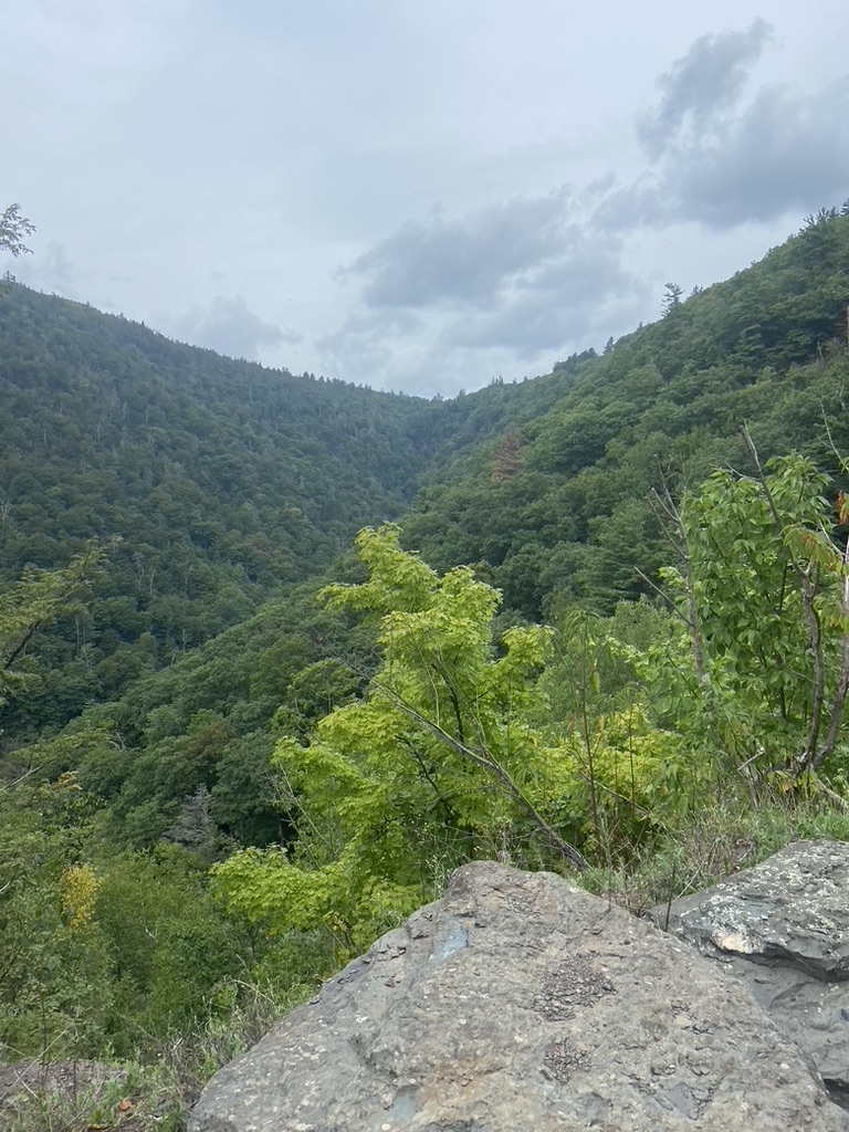
I think this is the toughest paved road climb I have ever ridden. Mt Greylock has some steep sections but this was the kind of steep that when you look up it looks like the road above you is a cliff.

It just went on and on

The section before the overlook hit 20%!
I had to put a foot down at the overlook

It was a tiny respite with more hellish climbing to come

I was drenched in sweat

I am going to have to reassess my gearing on the Waltly if I come back here, which I think I will.

At nearly 2000' of elevation it cooled off really quickly

and it started to rain as we rode into Tannersville looking for a place to eat.

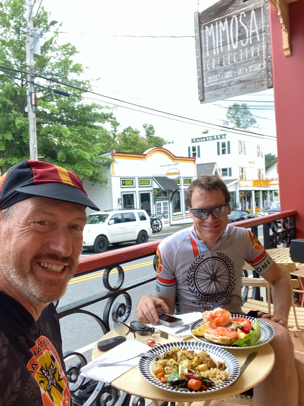
We stopped at the Krooked Cafe

Will and I split a cream cheese bagel with lox and a plate of home fries for lunch. We had the best smoothies, too.
After lunch we headed east on Rt 23A and started the 10 mile descent back towards Catskill, NY.
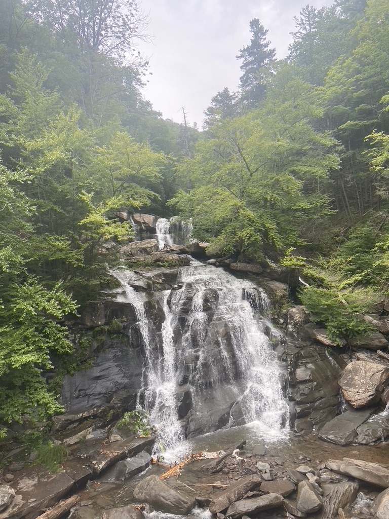
Partway through we stopped at Kaaters Kill Falls.
I was on the brakes the whole way down otherwise we could have easily gone 50 to 60 miles an hour and that's too fast for me.


Crossing Main Street in Catskill there was punchy climb up Bridge Street and then after a few more back roads

we turned onto Rt 23 headed towards the Rip Van Winkle Bridge
and back into Columbia County.

After the bridge we were on Rt 23 for bit and then we turned on to Blue Hills Road heading south. This road is part of the Empire State Trail.

Turning onto Blue Hills Road with 8 miles to go there were some views of the Taconic Range.
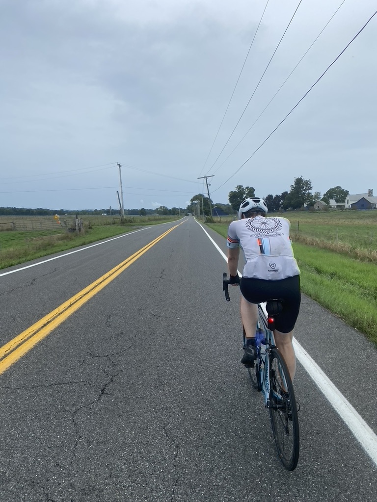
This was a wonderful road that we took back to the cars.

The Original plan was to stop at the Vosburgh Brewery for a beer but since it was so close to where we parked we went back to the cars, changed and then drove back to the brewery. Another rider from the area that I know from Instagram, Peter S. aka Hoppedbirdier - who takes phenomenal pictures of birds, met us here and bought us a round. We talked about some future rides and the possibility of doing another ride directly from this brewery.
Here's the route on RWGPS: Sympathy for the Devil.
No comments:
Post a Comment