
My Middle Finger Route is a 45 mile route from my house, or any point along the way, that is one loop. As some you know who ride with me, I have routing dysphoria in which I don't like having any overlap to my routes. You don't get that with this one, that's for sure. It's one of my favorites because of the many sights along the way and towards the end of the route there is an ice cream place, bakeries, cafes, and a brewery to replenish all the carbs you just burnt.
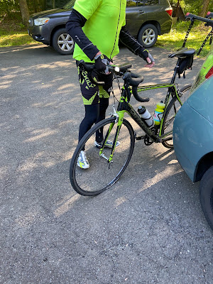
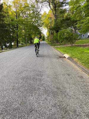
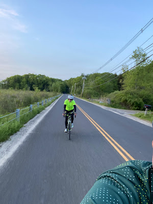
Don't you hate showing up to a ride and only discover that you have a flat tire? That's what happened to Scotty Friday when I invited him to ride from my house on my Middle Finger Route through the Litchfield Hills. Kind of apropo in a way, you just want to throw the bird at that tube! I gave him a spare tube from my box of tricks and we got him rolling in no time.


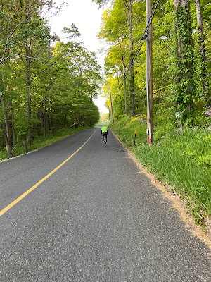
A class 4 hill that immediately takes you off of Rt 133

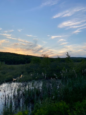
or brave Rt 133 a bit more to Wewaka Brook,

the shoulder is decent, too.
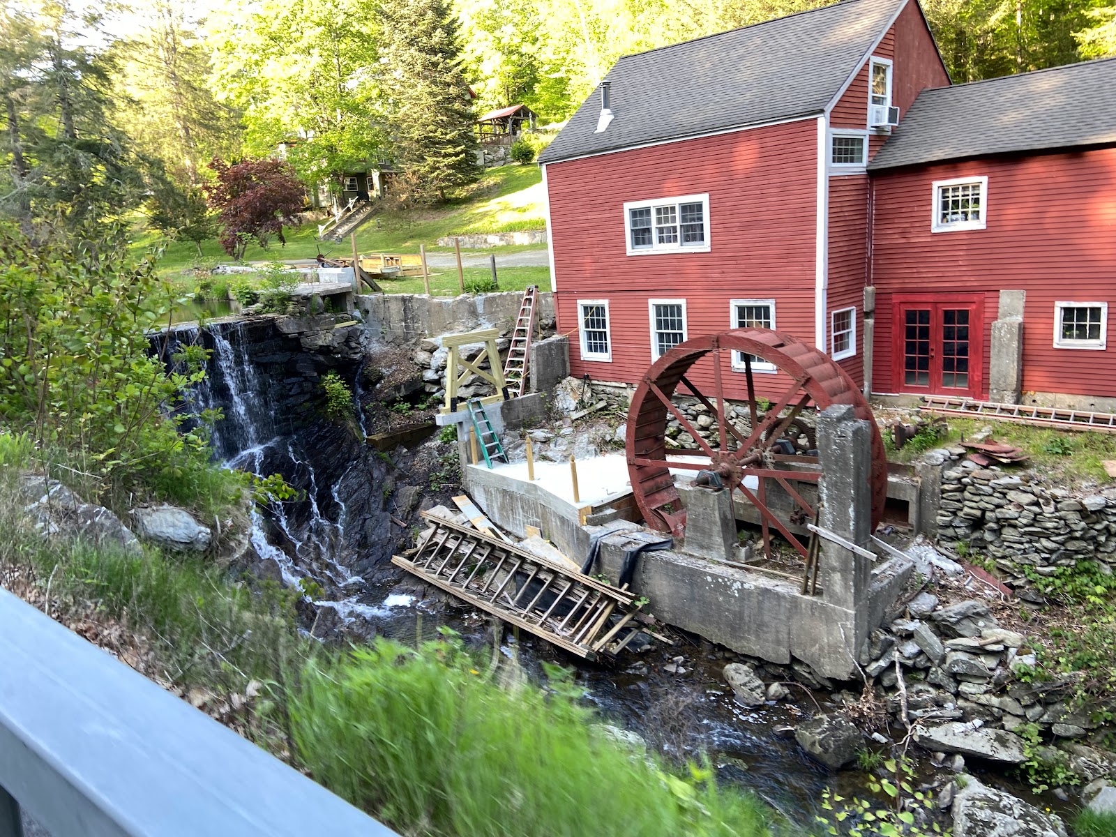
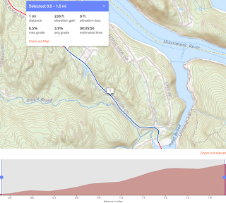
Personally, I prefer this way so I get to ride by the old mill that is being renovated to see what progress they have made. 100 yards past the mill is the turn onto Wewaka Brook. Climb up Wewaka to Hut Hill and then ride along the ridge behind Bridgewater. At the end, turn right onto Clapboard Road and start the descent into Roxbury.


Rt 67 winds around past the intersection with Rt 199 and then is flat through the center of Roxbury. You will pass by Great Oak Cemetery where Arthur Miller and Richard Widmark are buried. Marilyn Monroe was married to Arthur Miller but she isn't buried here. At the town green, really a little triangle in the road, where Rt 67 intersects with Wellers Bridge, the road does a little dog leg and turns south towards Southbury. We continued east on what becomes Rt 341 but turn shortly onto Painter Hill Road.
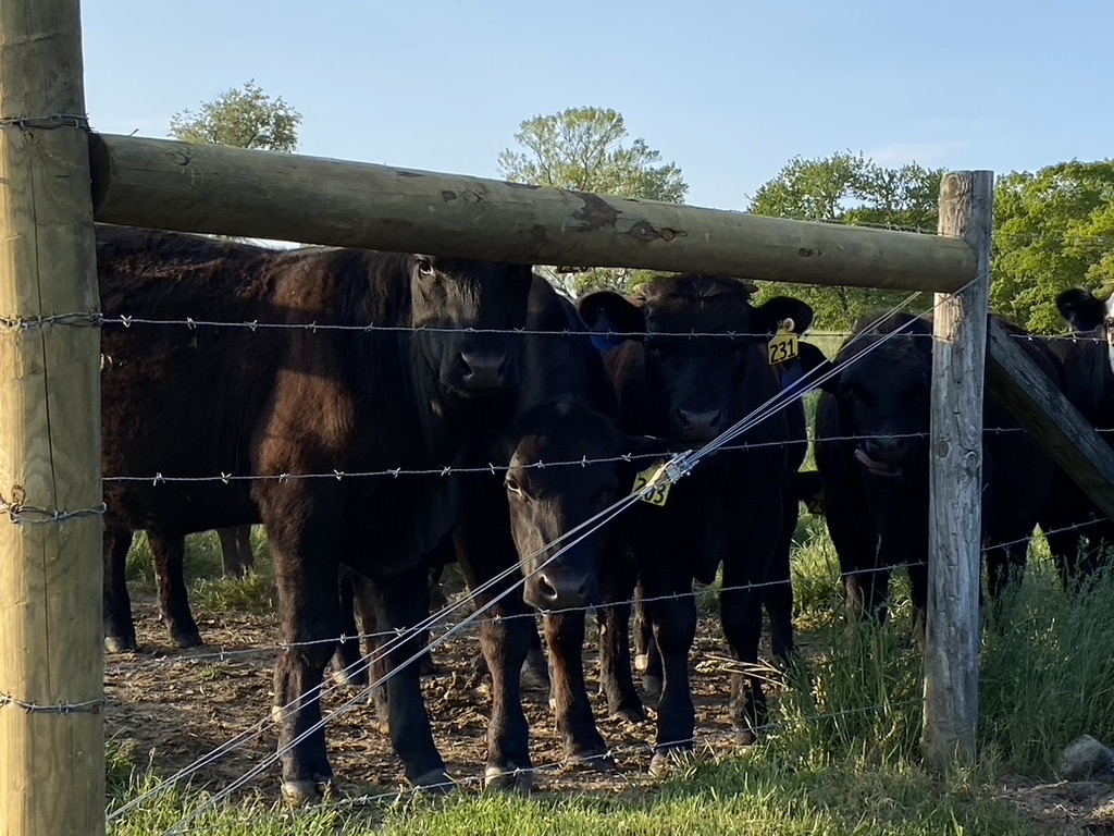
Painter Hill is one of my favorite climbs and unless I am riding gravel, which by the way I do so frequently through Roxbury, I ride this way every time. Three quarters of the way up the hill you come to Topland Farms, which was started by Dorothy Diebold and her husband. There's a dirt road just east of the farm named after her. Toplands is an active farm with numerous cattle, wheat and corn fields.
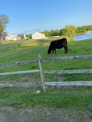

You see some Ass, too.

But the view looking south west is the real Money Shot.


Before the road cuts back into the woods there's more cattle to be seen.

The last climb before you get to the tip of the finger starts out being called Plumb Hill and then turns into Bell Hill.
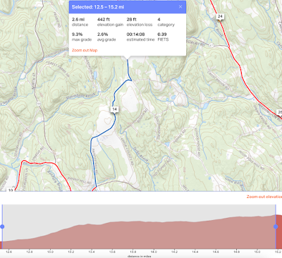
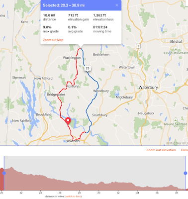
After a brief clip on Rt 109, no one's favorite numbered road, you turn south onto Nettleton Hollow Road and begin the nearly 20 mile descent to the Housatonic River. It's not really a big descent but when you look at on profile its a 2 to 1 ratio of elevation loss to elevation gain.
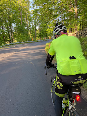
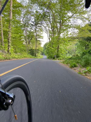
The ride down Nettleton Hollow is beautiful. Very little cars and was recently repaved. On weekends its a popular cycling route if you are headed up to Lake Waramaug, too.

Two miles past the ski hill you turn onto Westwood Road, which gets you off Rt 47 and begins a more bucolic route for awhile as you head back to Newtown. We often ride this way in the opposite direction when heading to Ovens of France, or what I have nicknamed, OOF. Even more so now that reconstruction has started on the bridge over the Weekeepeemee River.
Then you make a quick dogleg onto Transylvania Road. I can no longer find the reason this road is named this way but I think read once that Romanian Settlers moved into the area at one time as miners and the locals started calling this section of Woodbury Transylvania. At then end of Transylvania Road you head straight onto Rt 172 and continue descending towards the Housatonic. Rt 172 has a pretty good shoulder and 3/4s of the way down there is a small convenience store in the center of South Britain should you need anything.
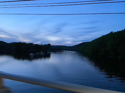
From Rt 172 there is a shortcut to Rt 6/202 and River Road called Swamp Hollow and then once you cross back over the Housatonic River/Lake Zoar you begin the climb back up to Newtown. Along the way there are couple of cafes, a diner and a great sports bar in Sandy Hook. Climbing up Church Hill you will pass a Starbucks, Pizza joints, a brewery, an Ice Cream Shop and other establishments if you need something the eat.
No comments:
Post a Comment
Please, stick to the topic at hand. Links to other sites or spam content will be removed.