
I enlisted the help of my boys to assist Pete and I with the physical closure of the Mulikin Trail today. They needed some fresh air and some exposure to the woods.

We set the first closure sign about 50 yards in from where the White Blazed & Purple Blazed (Mulikin Trail) split. Pete made up some signs and bought some stakes from Newtown Hardware. We also used pink engineers' tape across the trail.

Just in case someone didn't take the first closure seriously we added some additional signage further in. The thing to note here is this is where the re-route is going to begin.

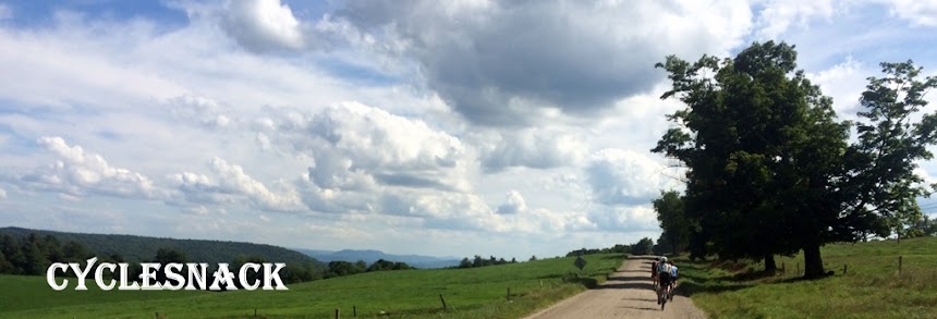
While we were adding this secondary warning another pair of hikers came down the trail. In fact we saw more more hikers using the Mulikin Trail than mountain bikers. Actually there were none using trail during the time we were there. We did come across a pair of riders stuggling up the Poly Brody.

Since the Mulikin is both and up and downhill trail we also put interior and exterior signs coming from the other direction, too.


As we were putting up the last one we met up with someone walking his dog on the Unmarked and Unsanctioned Trail. That is a first! On rare occasions I have come across the loan hiker or shirtless, wandering priest on the Gussy Trail, but this is the first time I have seen a non mountain biking person on DSP.

Saw some hoof prints on the Brody Road

These two, father and son, were struggling up the steepest section on the Brody Road.
The son had a full face helmet on, that I thought was a bit of overkill

On the way back we walked down the White Blazed trail to where it intersected with the Lower and Upper Mulikin Trails and then went a way that I used to ride many years ago before I found the Lower Mulikin Trail. It's an old trail that leads to an old skidder path that hooks up to the Hunter's Tree Stand Trail. Right off this trail is a tree stand that someone erected and locked it to the tree that it is on.

Given the nature of this trail being so straight and the fact that it goes right past the tree stand I would assume that it was made of the hunter/owner of the tree stand. No competent mountain biker worth his or her weight would bother making a trail so straight. Given the amount of area in this part of the forest you could create a serpentine route that would easily stretch the length of the trail to at least another mile. Not to mention using a fall line climb after the stream crossing, too.

Today's route:

A 3-D view of the route

No comments:
Post a Comment